Design with Precision
Add icons, lines, polygons, and rectangles to visually design your entire campsite layout with accurate measurements.
Draw, Visualize, and Track your locations with precision.
Stop using static PDFs. As an event organizer, use our powerful 2D mapping tool to design, visualize, and manage all your campground facilities, pitches, and zones instantly.
Accurately plot every asset, from RV spots to emergency points, and share the interactive map via a simple QR code.
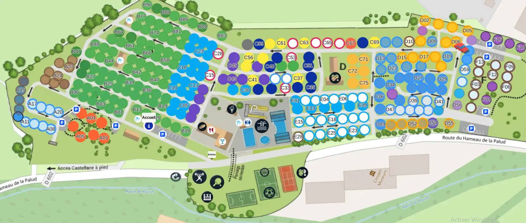
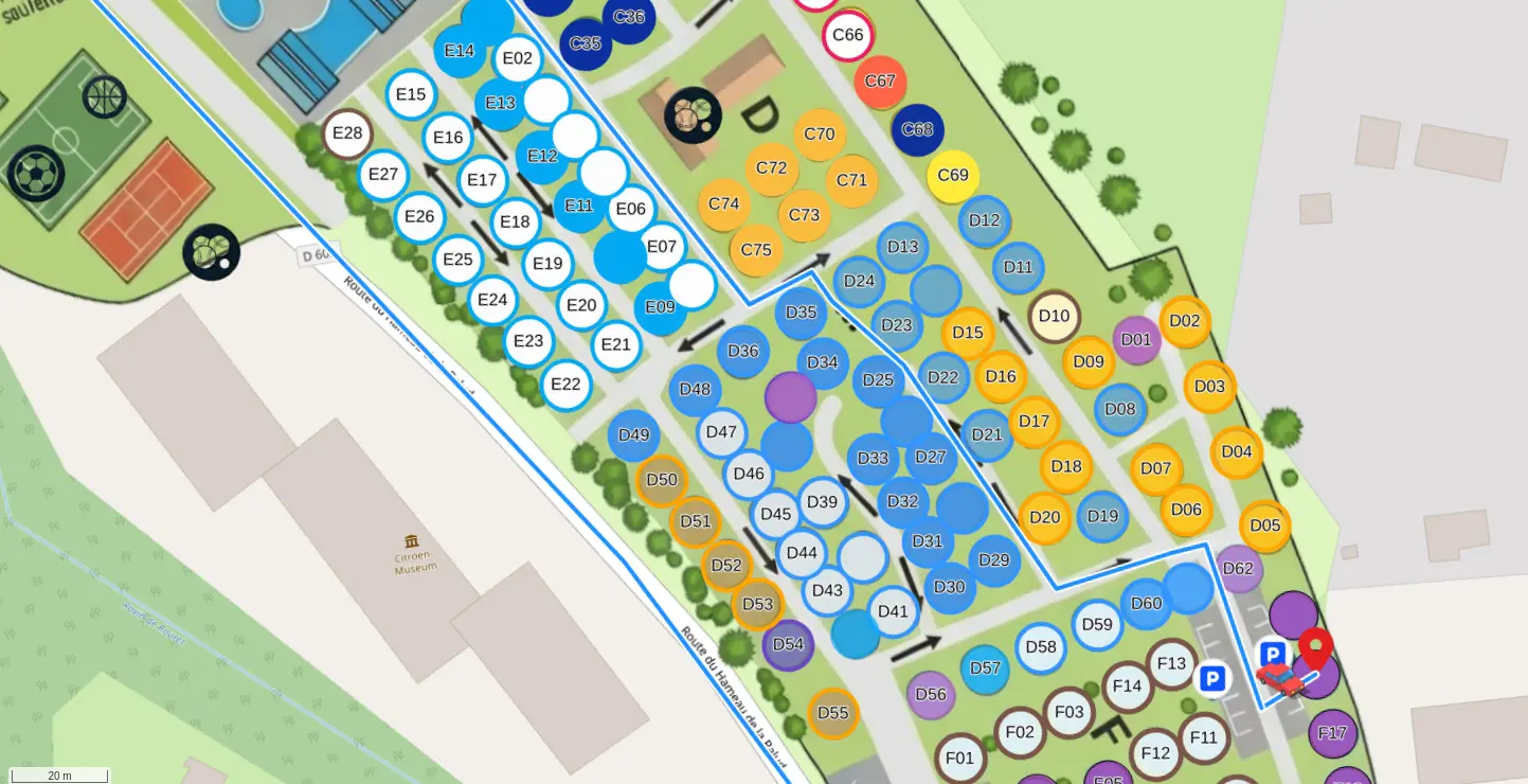
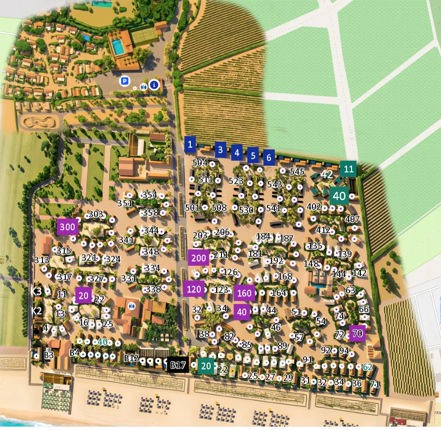
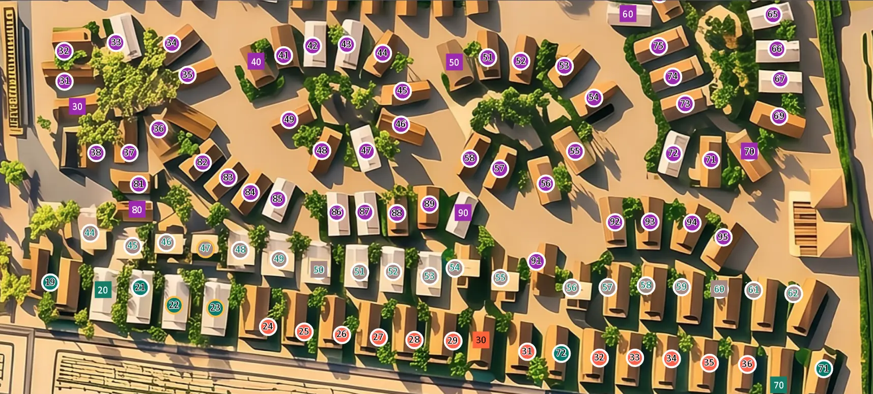
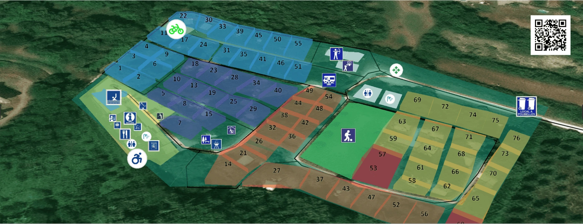
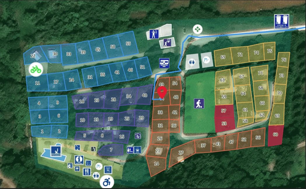
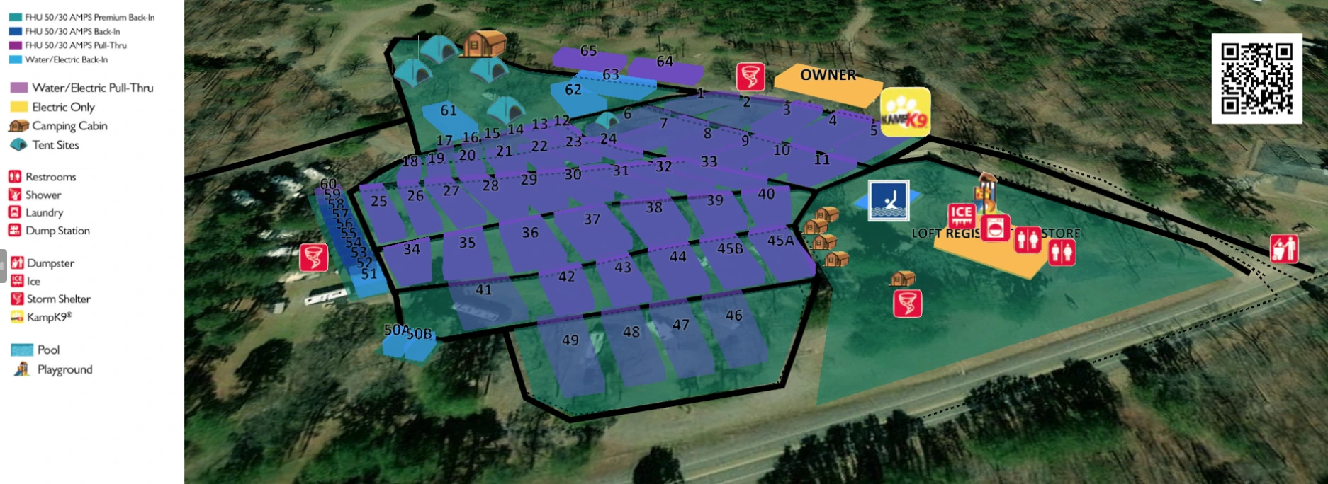
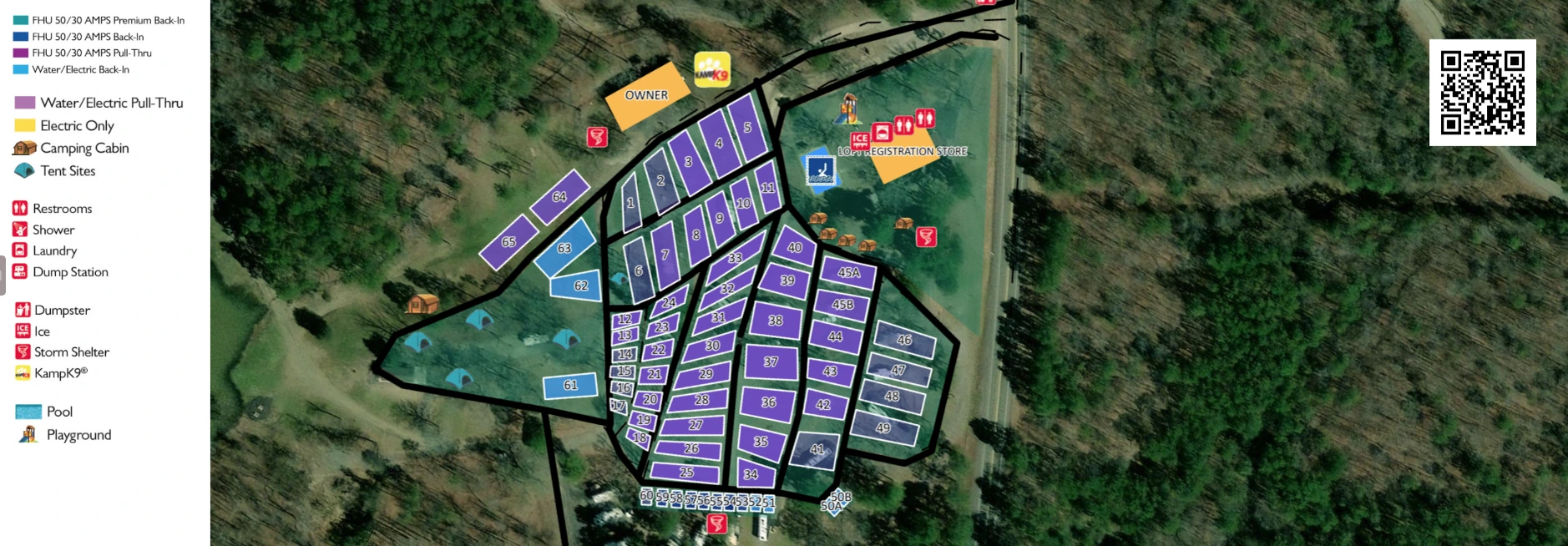
Add icons, lines, polygons, and rectangles to visually design your entire campsite layout with accurate measurements.
Visitors and staff can locate themselves instantly and navigate to any facility or assigned pitch using their phone's GPS.
Provide a simple QR code for instant map access at the entrance. No app download required for anyone.
Work with your team in real-time. Assign participants, vendors, or partners directly on the map for seamless coordination.
Define clear routes for vehicles, pedestrians, or emergency access. Guide everyone safely with one-way and two-way paths.
Our lightweight 2D maps load instantly and are highly optimized for mobile devices, consuming minimal battery.